
The vast and unforgiving expanse of the open seas has been both a realm of adventure and a source of trepidation throughout human history. Navigating these waters, whether in ancient times or the modern era, has required a profound understanding of the elements, an array of navigational techniques, and a spirit of exploration. In this blog post, we will embark on a journey to explore the art and science of navigating the open seas, comparing ancient techniques with their modern counterparts.
-
Ancient Seafaring and Celestial Navigation
- Wayfinding Without GPS: Understanding how ancient mariners, such as the Polynesians, Vikings, and early Mediterranean sailors, relied on celestial cues like stars and the sun for navigation.
- Polynesian Navigators: Highlighting the exceptional skills of Polynesian wayfinders, who used the position of stars, wave patterns, and seabird behavior to traverse vast stretches of the Pacific Ocean.
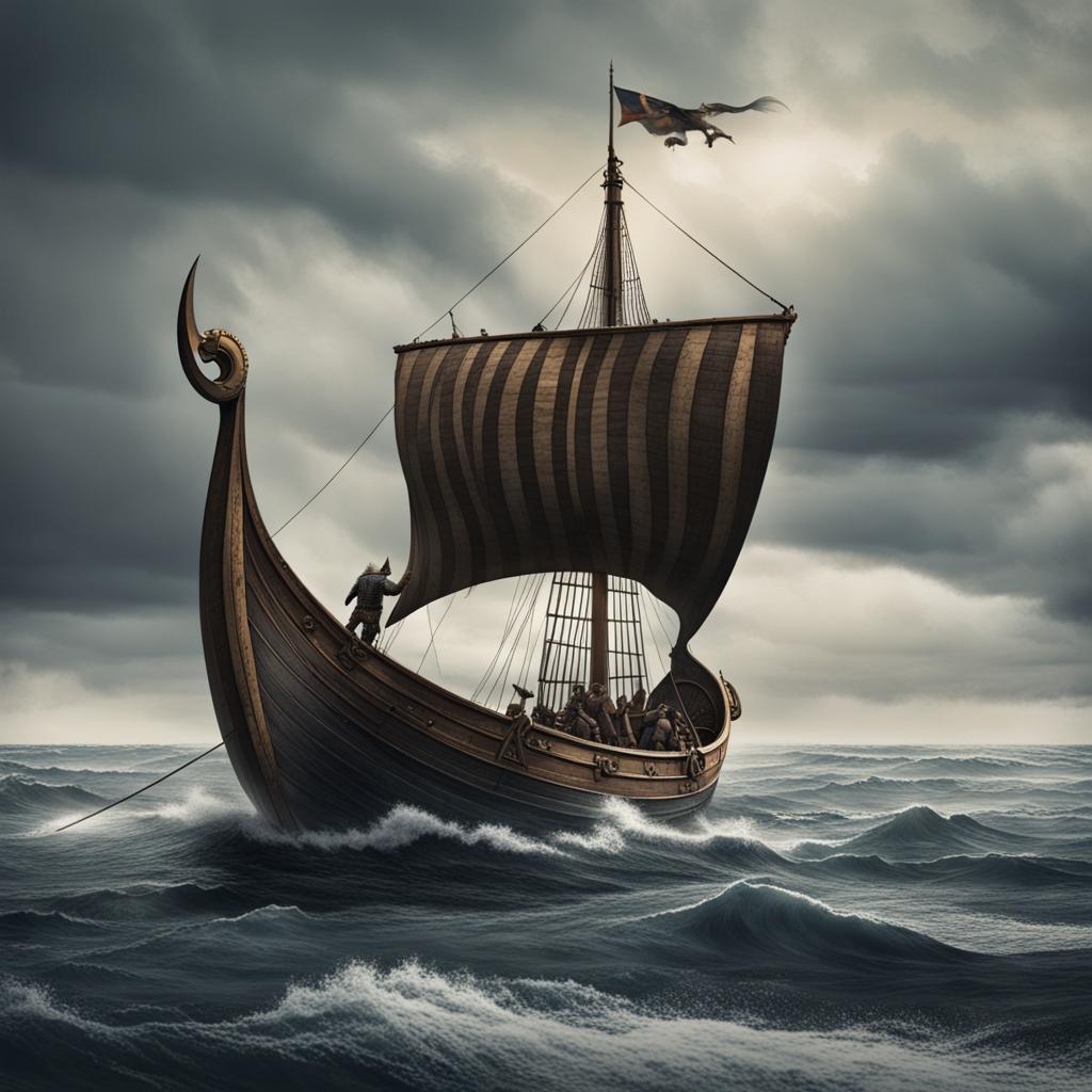
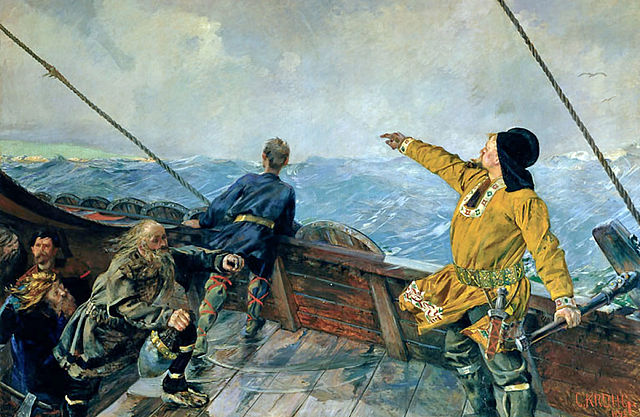
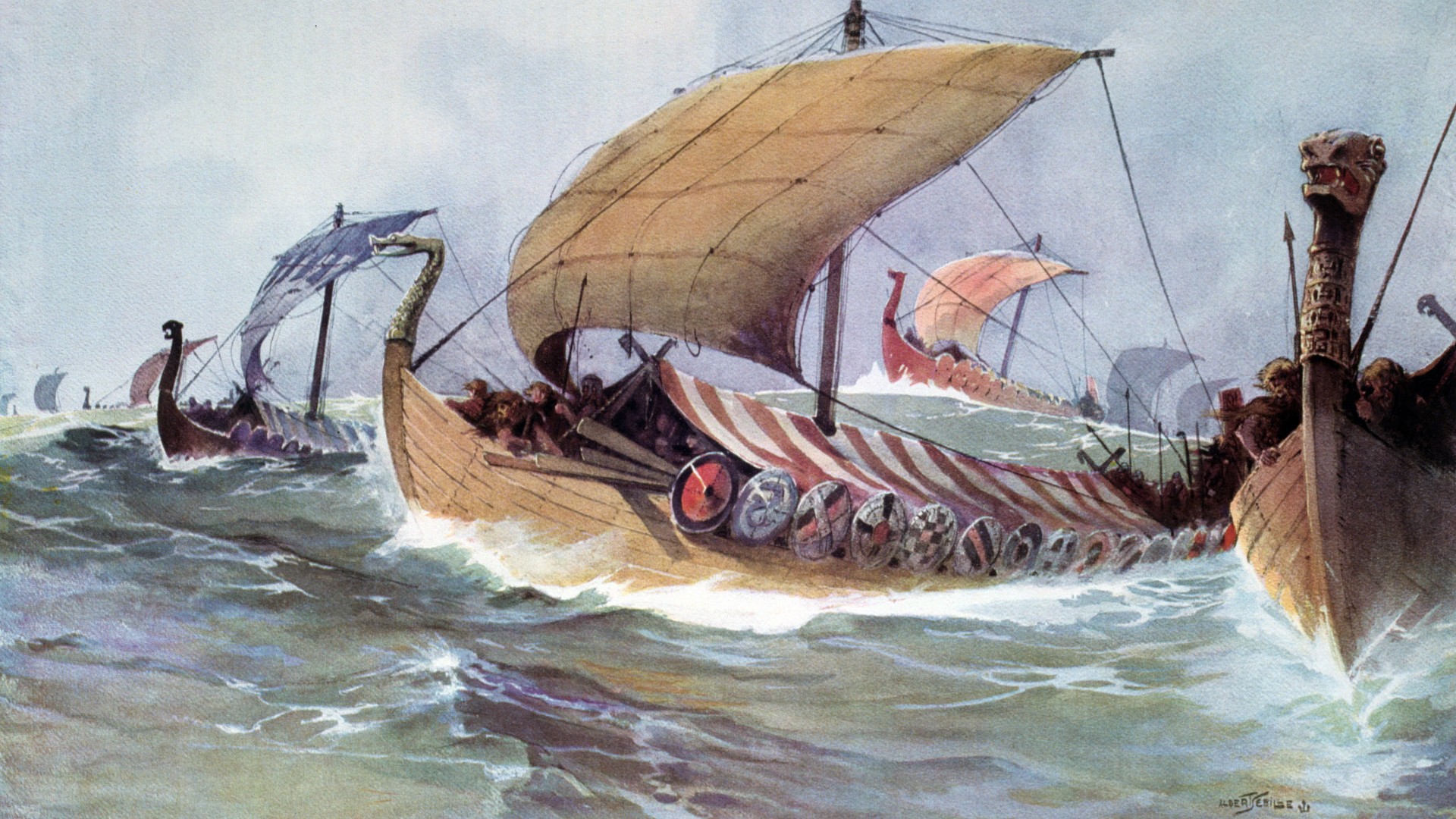
- Viking Sun Compass: Discussing the sun compass, a simple yet effective tool employed by the Vikings for navigation based on the sun's position.
-
Astrolabes and Cross-Staffs: Ancient Instruments of Precision
- Astrolabes: Exploring the astrolabe, a sophisticated instrument used by medieval mariners to determine latitude based on the angle of celestial bodies above the horizon.
- Cross-Staffs: Discussing the use of cross-staffs for measuring the angle between the horizon and celestial objects like the North Star, a vital tool for determining latitude.
-
Dead Reckoning and Piloting: Age-Old Techniques
- Dead Reckoning: Explaining the concept of dead reckoning, where sailors estimate their current position based on a previously known position, speed, and course.
- Coastal Piloting: Detailing the practice of piloting, wherein sailors use landmarks, soundings, and visible coastlines to navigate close to shore.
-
Modern Navigation: From Charts to GPS
- Nautical Charts: Describing the importance of nautical charts, which provide detailed information about coastlines, depths, and navigational aids for modern sailors.
- GPS Navigation: Exploring how the Global Positioning System (GPS) has revolutionized navigation, providing precise and real-time positioning information to mariners.
-
The Role of Technology: Radar and AIS
- Radar Systems: Discussing radar technology, which allows vessels to detect the presence and location of other ships, landmasses, and hazards in low-visibility conditions.
- Automatic Identification System (AIS): Exploring AIS, a system that enhances maritime safety by continuously broadcasting information about a vessel's identity, course, and speed to other vessels.
-
The Art and Science of Navigation Today
- Combining Traditions: How modern mariners combine traditional celestial navigation techniques with advanced technology to ensure safe and accurate navigation.
- Education and Training: The significance of nautical education and training in equipping sailors with the knowledge and skills to navigate effectively.
Conclusion:
Navigating the open seas has always been a complex and vital endeavor, demanding a blend of ancient wisdom and modern technology. While the techniques of ancient seafarers like Polynesian navigators, Vikings, and medieval mariners were remarkable for their time, modern navigation tools, such as GPS, radar, and AIS, have significantly enhanced safety and precision at sea. The art and science of navigation continue to evolve, reflecting our enduring human fascination with the open waters and our determination to conquer their challenges.
Works Cited:
- Lewis, David, and Bill Carman. The Celestial Navigator. Fernhurst Books Limited, 2012.
- Sehgal, Sunil. Polynesian Navigation and the Discovery of New Zealand. David Bateman Ltd, 2013.
- Thomas, David Hurst. The Last Navigator: A Young Man, an Ancient Mariner, the Secrets of the Sea. Three Rivers Press, 2009.
- United States Power Squadrons. "Piloting & Navigation." United States Power Squadrons, 2021.
- Weems, Philip Van Horn. American Practical Navigator. Paradise Cay Publications, 2017.
- GPS.gov. "GPS: The Global Positioning System." GPS.gov, U.S. Government, 2021.
Leave a comment
This site is protected by hCaptcha and the hCaptcha Privacy Policy and Terms of Service apply.